| Title | Date Created | Description | Subject | Collection |
|---|---|---|---|---|
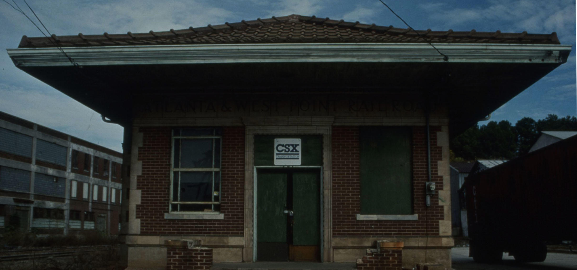
| Train Depot, circa 1991 | 1986/1996 | View of the Atlanta and West Point train depot. Text from slide presentation: . . . a train depot � | Railroads, African American neighborhoods, African Americans--Georgia--Atlanta | General Photographs Collection |
| Map of South Atlanta, circa 1991 | 1986/1996 | A map of south Atlanta. Text from slide presentation: A community that reveals another aspect of Atlanta's Black history is South Atlanta, located in the southeastern section of the city. | African Americans--Georgia--Atlanta, African American neighborhoods, Railroads | General Photographs Collection |
| Map of Mozley Park, circa 1920 | 1915/1925 | A map of Mozley Park. Text from slide presentation: Mozley Park, which lies west of the Atlanta University Center, represents yet another aspect of the city's history. The subdivision is triangular shaped and was originally bounded by Martin Luther King Drive (then called Hunter) on the north, Gordon Road on the south and by the Southern Railroad line on the east. | African Americans--Georgia--Atlanta, African American neighborhoods, Railroads | General Photographs Collection |
| Trolley, circa 1885 | 1880/1890 | Men ride a trolley in Altanta. Text from slide presentation: During the 1880s, the Atlanta Street Railroad Company extended its trolley system toward the east. For the first time, neighborhood residents could enjoy the convenience of riding the trolley to downtown Atlanta. | African Americans--Georgia--Atlanta, African American neighborhoods, Railroads | General Photographs Collection |
May 29, 2020
General Photographs Collection
The General Photograph collection, includes photographs documenting the African American experience. This collection is organized into two series: individuals and subjects, and consists of photographs of notable figures including, W.E.B. DuBois and his family, Dr. Martin Luther King Jr. during his time as a student at the AUC and more. The collection also includes images of various Atlanta Neighborhood homes and sites.
At the AUC Robert W. Woodruff Library we are always striving to improve our digital collections. We welcome additional information about people, places, or events depicted in any of the works in this collection. To submit information, please contact us at DSD@auctr.edu.