Skip to main content
NAVIGATION
Contact
Help
Advanced Search
Search Term
SEARCH
Account Menu
HOME
COLLECTIONS
INSTITUTIONAL REPOSITORY
ARCHIVAL COLLECTIONS
THESES AND DISSERTATIONS
CONTRIBUTE
JOURNALS
ABOUT
CONTACT
FIND WHAT YOU ARE LOOKING FOR
Search Term
SEARCH
34
Results for:
All
Collections
Objects
Results Per Page
10
20
50
RELEVANCY
DATE
TITLE
cartographic
(x)
1960-1969
(x)
Search results
For:
Document Type = cartographic
Decade = 1960-1969
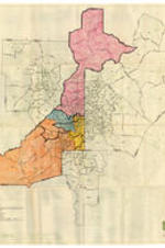
Atlanta Region 1970 Census Tracts, 1967
Date Created
1967-01-01
Description
Detailed base map of the Atlanta regions census tracts with Fulton County color coded.
Subject
African Americans--Politics and government, African American women
Grace Towns Hamilton Papers
Atlanta Area Metropolitan Map Series Pre-Enumeration Copy, Item 21, December 1969
Date Created
1969-12-10
Description
Map of Congressional District 4, Pine lake, Lithonia, and Stone Mountain Divisions.
Subject
African Americans--Politics and government, African American women
Collection
Grace Towns Hamilton Papers
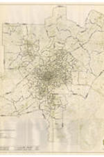
Atlanta Region 1970 Census Tracts, 1967
Date Created
1967-01-01
Description
Detailed base map of the Atlanta regions census tracts with census boundaries outlined.
Subject
African Americans--Politics and government, African American women
Grace Towns Hamilton Papers
Atlanta Area Metropolitan Map Series Pre-Enumeration Copy, Item 17, December 1969
Date Created
1969-12-10
Description
Map of Congressional Districts 4 and 5, Druid Hills - North Decatur, Atlanta, and Constitution - Panthersville Divisions.
Subject
African Americans--Politics and government, African American women
Collection
Grace Towns Hamilton Papers
Grace Towns Hamilton Papers
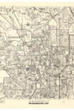
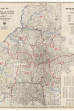
Map of Atlanta, September 1969
Date Created
1969-09
Description
Map of Atlanta with districts outlined.
Subject
African Americans--Politics and government, African American women
Collection
Grace Towns Hamilton Papers
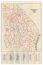
Georgia Official Highway Map, 1968
Date Created
1968-01
Description
Official highway map of Georgia, detailing cities.
Subject
African Americans--Politics and government, African American women
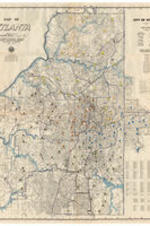
Map of Atlanta, 1969
Date Created
1969-09
Description
Map of Atlanta with districts outlined and color coded.
Subject
African Americans--Politics and government, African American women
Georgia Official Highway Map, 1968
Date Created
1968-01
Description
Official highway map of Georgia.
Subject
African Americans--Politics and government, African American women
Map of Atlanta, 1969
Date Created
1969-09
Description
Map of Atlanta with districts outlined.
Subject
African Americans--Politics and government, African American women
House Districts, 1968
Date Created
1968-01
Description
Map of Georgia showing house districts.
Subject
African Americans--Politics and government, African American women
Federal Judicial Circuits, 1968
Date Created
1968-01
Description
Map of Georgia showing federal district circuits.
Subject
African Americans--Politics and government, African American women
Senatorial Districts, 1968
Date Created
1968-01
Description
Map of Georgia showing senatorial districts.
Subject
African Americans--Politics and government, African American women
University Center, Urban Redevelopment Area, October 1967
Date Created
1967-10
Description
Project control map of proposed changes to the University Center from the Housing Authority of the City of Atlanta.
Subject
African Americans--Politics and government, African American women
State Judicial Circuits, 1968
Date Created
1968-01
Description
Map of Georgia showing state judicial circuits.
Subject
African Americans--Politics and government, African American women
Cover Page, 1968
Description
Map of Georgia showing counties and congressional districts.
Subject
African Americans--Politics and government, African American women
Counties and Congressional Districts, 1968
Date Created
1968-01
Description
Map of Georgia showing counties and congressional districts.
Subject
African Americans--Politics and government, African American women
University Center, Urban Redevelopment Area, November 1963
Date Created
1963-11-05
Description
Proposed amendatory changes of the University Center from the Housing Authority of the City of Atlanta with color coding.
Subject
African Americans--Politics and government, African American women
Grace Towns Hamilton Papers
Map of Atlanta with Atlanta School Locations, 1967
Date Created
1967-01
Description
Map of Atlanta with marked color coded school locations.
Subject
African Americans--Politics and government, African American women
Collection
Grace Towns Hamilton Papers
Grace Towns Hamilton Papers
Representative Districts of Georgia, 1968
Date Created
1968-01
Description
Map of Representative Districts of Georgia from the Secretary of State.
Subject
African Americans--Politics and government, African American women
Collection
Grace Towns Hamilton Papers
Grace Towns Hamilton Papers
Map of Atlanta Wards, Precincts, and Polling Places 1965, June 1963
Date Created
1963-06
Description
Map of Atlanta making wards, precincts and polling places from the Atlanta - Fulton County Joint Planning Board.
Subject
African Americans--Politics and government, African American women
Collection
Grace Towns Hamilton Papers
1
2
❯
❯❯