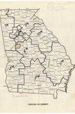
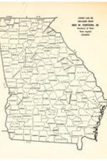
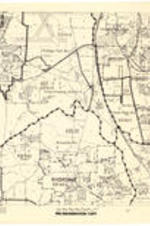
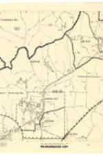
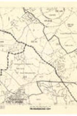
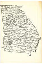
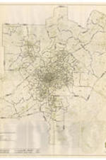
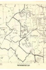
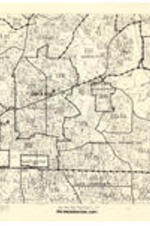
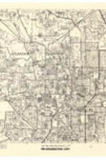
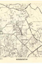
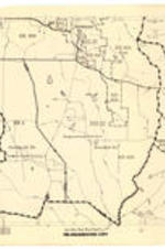
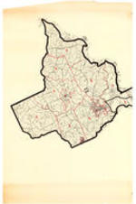
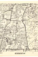
Grace Towns Hamilton Papers
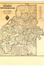
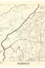
Grace Towns Hamilton Papers

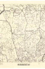
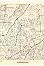
Grace Towns Hamilton Papers
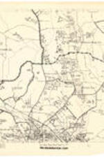
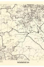
Grace Towns Hamilton Papers
Grace Towns Hamilton Papers
Grace Towns Hamilton Papers
Grace Towns Hamilton Papers
Grace Towns Hamilton Papers
Grace Towns Hamilton Papers
Grace Towns Hamilton Papers
Grace Towns Hamilton Papers


Grace Towns Hamilton Papers
Grace Towns Hamilton Papers
Grace Towns Hamilton Papers
Grace Towns Hamilton Papers
Grace Towns Hamilton Papers
Grace Towns Hamilton Papers
Grace Towns Hamilton Papers